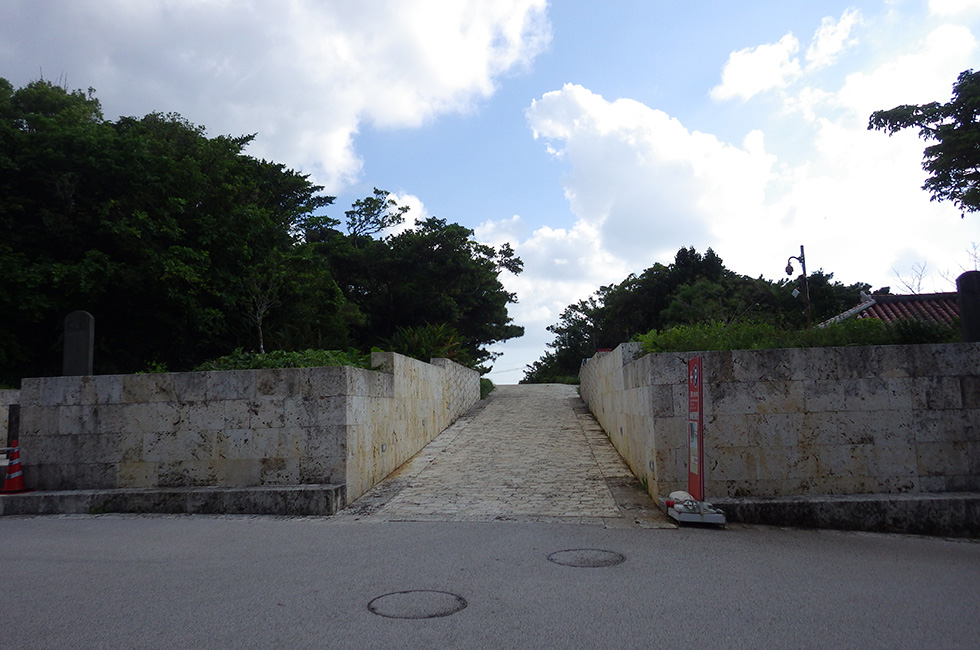
Madamamichi
Home > Visitor’s Guide > Ryukyu Kingdom exploration ~American writer's gaze~ > Madamamichi
Madamamichi

Madamamichi (Pearl Road) is an important historical route that began near the Shureimon Gate. The name comes from its appearance: a neatly paved surface made of closely fitted Ryukyu limestone blocks that gleamed white when first constructed in 1522. It was the main route for deploying soldiers from Shuri Castle to Naha Port, primarily to defend it against the threat from marauding pirates. It was about 4 kilometers long, and was an important engineering contribution to the area’s infrastructure. Madamamichi began near the castle and passed through Kinjo-cho in Shuri and by the mouth of the Kokuba River, finally ending at Kakinohana on the southern bank of Naha Port. It intersected with other roads, allowing troops from other locations to join along the way. As it passed through the village of Shikina, Madamamichi was later used by the king and his entourage to travel to his villa, Shikinaen. Significant portions have remained in use over the centuries and other well-preserved parts have been excavated and studied, so the design and construction of Madamamichi is well known.
The Stone Pavement of Kinjo-cho
A segment of Madamamichi about 300 meters long still exists, and is now known as the Stone Pavement of Kinjo-cho. Worn from centuries of use, it winds through the former aristocratic district of Kinjo-cho on the slopes immediately southwest of Shuri Castle, and is renowned for its ancient creeper-covered stone walls and great canopies of trees. Its condition is the result of generations of careful nurturing, and because it survived World War II largely intact, it maintains Shuri’s traditional urban atmosphere. Its many narrow offshoots and urban pockets allow visitors to explore and absorb the atmosphere of daily life as it was during the twilight days of Ryukyu.
© Shurijo Castle Park All Rights Reserved.


